One Team. One Solution.
Remote Optics brings the pilots, technology and geospatial expertise together under one roof.
From mission planning and aerial data capture to processing, analysis and final deliverables, you don’t need to coordinate multiple service providers.
SINCE 2022
We have the pilots. We have the technology. We deliver the intelligence.
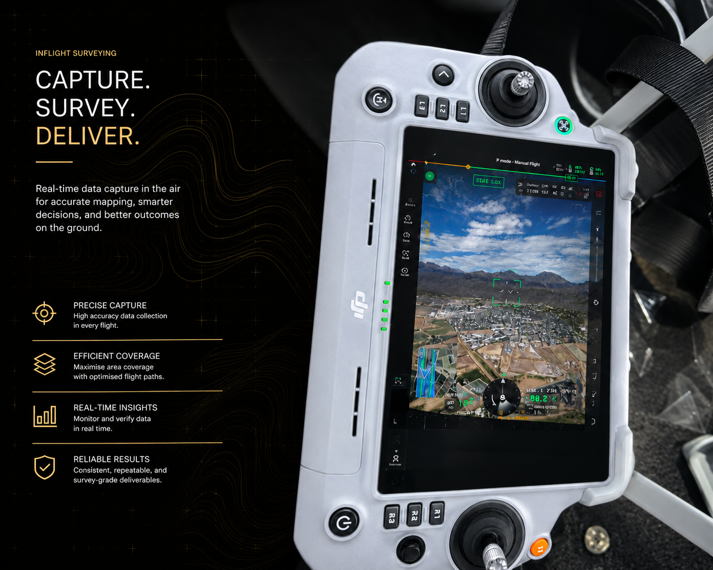
inflight surveying
At Remote Optics, we transform complex environments into actionable intelligence through advanced geospatial technologies.

specialising
Specialising in Site Surveying, LiDAR Applications, Mapping, and Aerial Data Capture, we deliver precise, reliable insights that empower better decision-making across infrastructure, mining, construction, and environmental projects.

Geospatial Solutions
We deliver high-precision geospatial solutions that help businesses work smarter, safer, and more efficiently. Combining advanced drone technology, LiDAR, mapping, and aerial data capture, we provide actionable insights for surveying, project monitoring, asset management, and infrastructure development. Our commitment to accuracy, innovation, and excellence enables clients across South Africa to make confident, data-driven decisions.

Precision. Intelligence. Insight.
See how Remote Optics transforms complex environments into actionable intelligence through precision surveying, LiDAR, inspections, and aerial data solutions.

PRECISION SOLUTIONS
We deliver advanced geospatial intelligence and aerial data
that help organizations make smarter decisions, improve operational efficiency, and reduce project risk. Using industry-leading DJI Enterprise technology, LiDAR systems, and advanced data processing workflows, we provide accurate, reliable insights across a wide range of industries.
SITE SURVEYING
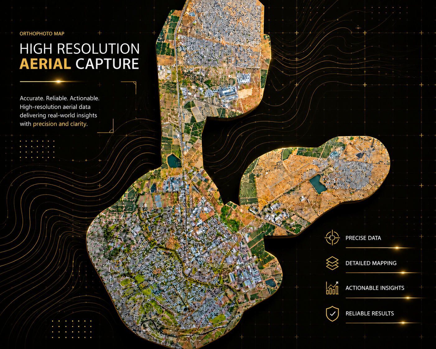
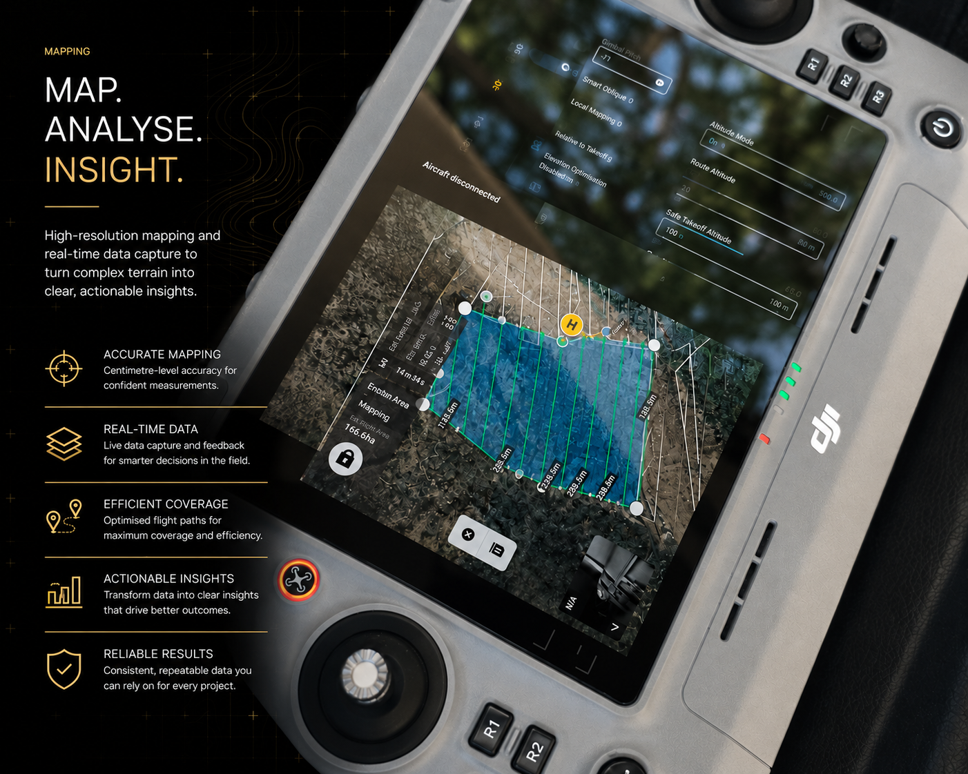
Accurate aerial surveying and mapping solutions that provide the reliable data needed for planning, design, monitoring, and informed decision-making.
- Topographic Surveys
- Site Planning
- Engineering Projects
- Infrastructure Development
- Land Assessment
- Topographic Surveys
- Site Planning
- Engineering Projects
- Infrastructure Development
- Land Assessment
LiDAR APPLICATIONS
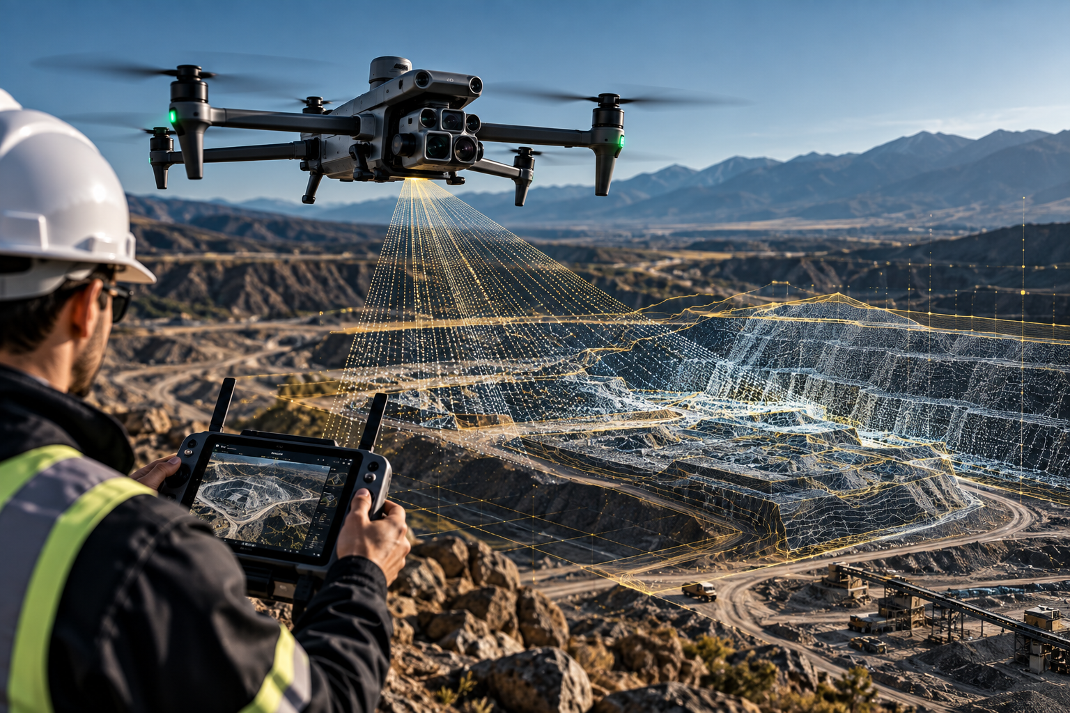
Advanced LiDAR technology captures highly accurate terrain and vegetation data, generating detailed 3D models and topographic information even in challenging environments.
- Terrain Modelling
- Vegetation Penetration
- Corridor Mapping
- Infrastructure Planning
- Environmental Analysis
- Terrain Modelling
- Vegetation Penetration
- Corridor Mapping
- Infrastructure Planning
- Environmental Analysis
VOLUMETRIC ANALYSIS
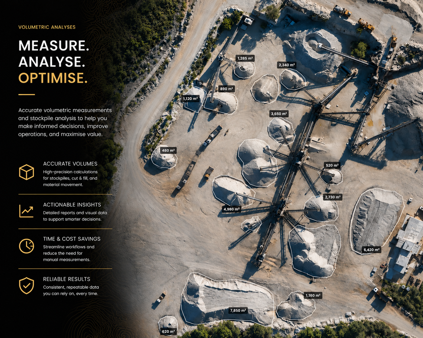
Precise stockpile measurements and volumetric calculations that provide accurate reporting for mining, quarrying, and material management operations.
- Stockpile Volumes
- Cut & Fill Analysis
- Inventory Management
- Material Tracking
- Production Reporting
- Stockpile Volumes
- Cut & Fill Analysis
- Inventory Management
- Material Tracking
- Production Reporting
3D MAPPING & REALITY CAPTURE
Transform real-world environments into accurate digital twins and 3D models for planning, analysis, visualization, and project management.
- Digital Twins
- Site Visualization
- Asset Management
- Progress Monitoring
- Engineering Design
- Digital Twins
- Site Visualization
- Asset Management
- Progress Monitoring
- Engineering Design
INFRASTRUCTURE INSPECTIONS
Safe and efficient aerial inspections of critical infrastructure, reducing risk while providing detailed visual and analytical data.
- Cell Towers
- Power Infrastructure
- Industrial Facilities
- Roof Inspections
- Structural Assessments
- Cell Towers
- Power Infrastructure
- Industrial Facilities
- Roof Inspections
- Structural Assessments
SITE VIDEOGRAPHY & PROGRESS MONITORING
Professional aerial videography and photography that document project progress, showcase developments, and provide valuable visual records throughout the project lifecycle.
- Construction Monitoring
- Marketing Content
- Stakeholder Reporting
- Project Documentation
- Corporate Communications
- Construction Monitoring
- Marketing Content
- Stakeholder Reporting
- Project Documentation
- Corporate Communications

INDUSTRIES WE SERVE
Mining
Accurate mine mapping, stockpile measurements, volumetric analysis, and operational monitoring.
Construction
Progress tracking, site surveying, 3D mapping, and project documentation.
Telecommunications
Cell tower inspections and infrastructure assessments performed safely and efficiently.
Renewable Energy
Solar farm inspections, thermal analysis, and infrastructure monitoring.
Infrastructure Development
Surveying, mapping, inspections, and reality capture solutions for engineering and development projects.